 the easiest option
Southwest
Taucho and Ifonche
- Region
- Adeje
- View
- hotels and the sea
- Getting There
- short distances from the south
Guides
Language
EnglishCurrency
US dollar · $Your currency applies on GetYourGuide too.
Guide · Launch sites
Where do the paragliders launch on Tenerife? Here you find the island's flying areas on a map, what sets them apart and what that means for your tandem flight or your paragliding trip.
Editor paraglidingteneriffa.deUpdated on 5 October 2026Reading time: 6 min.7 sources
In short
Tenerife is a volcanic island with steep slopes rising from the sea to great heights. That is exactly what makes it interesting for paragliders: almost everywhere there are slopes you can launch from and a coast where you can land. Turismo de Tenerife divides launch and landing zones into areas: the north around Los Realejos, the southwest around Adeje and the east around Güímar.1
In addition, the tourism board names other areas that matter to paragliders: Ifonche and Taucho in the southwest, Izaña in the highlands, the slope at Güímar and the volcano of Fasnia.2 Which launch site is used on a given day depends mainly on the wind. What flies well in the south can be impossible in the north, and vice versa.
For you as a tandem passenger this means: you do not need to know the launch sites to have a great flight. The pilot chooses the spot that fits the day. It helps, though, to get a rough sense of the areas so you understand why a flight in the south takes you over hotels and beaches while a flight in the north takes you over green valleys and banana plantations.
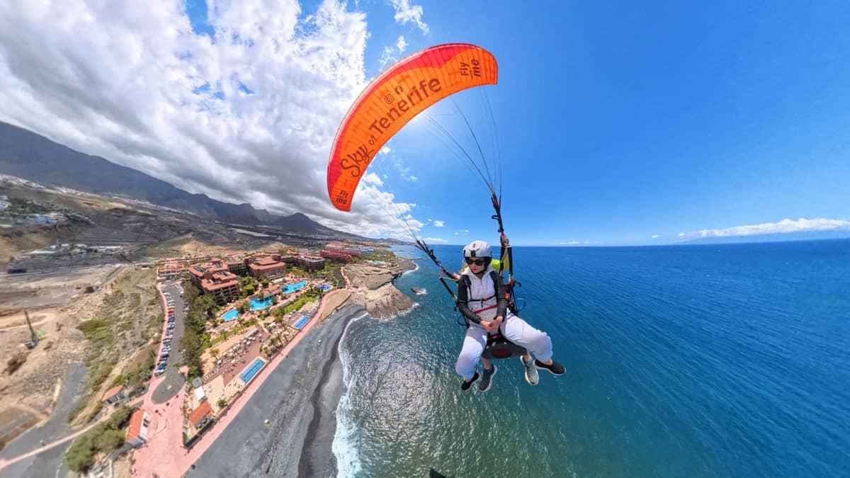
In the southwest of the island lie the launch sites you are most likely to experience if you are staying in the south. Taucho belongs to Adeje, and Turismo de Tenerife names Ifonche near Vilaflor.2 Both sit on the slopes above the coast, and from both you can look far across the hotel zones all the way to the sea.
Some providers mention the altitude of their launch. One flight from Ifonche states a launch altitude of 1,000 meters. Another flight over Costa Adeje advertises a launch from 1,100 meters and names Ifonche y Benítez as a waypoint. Other flights in the south launch from lower slopes, which makes the flight shorter but no less beautiful.
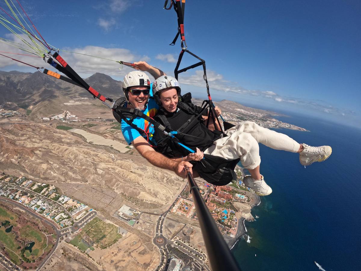
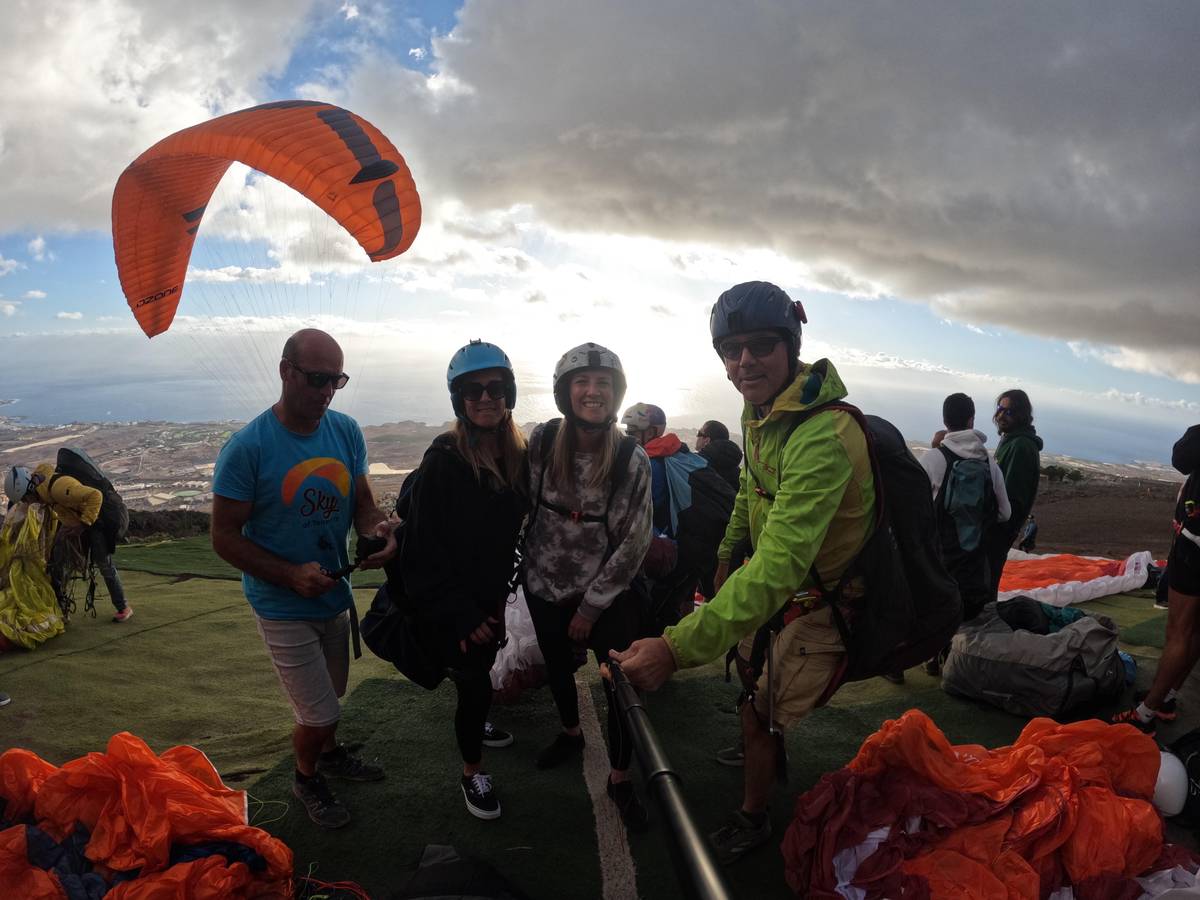
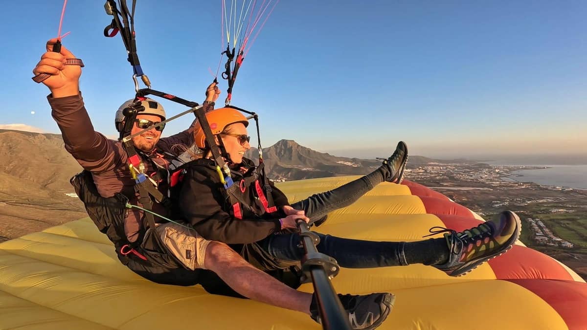
The flight on this page takes place in Costa Adeje, with pickup from one of 23 meeting points. The team will usually only tell you which slope they use on your day during the drive up. That is normal: the decision is made late because the wind can still shift in the morning.
Flying areas
| Area | Region | Known For | Landing |
|---|---|---|---|
| Taucho | Southwest, Adeje | Flights over the west coast | in the Adeje area |
| Ifonche | southwest, near Vilaflor | start at 1,000 m as offered | in the Adeje area |
| La Corona | north, Los Realejos | runway at the viewpoint | in the north |
| Izaña | Highlands | start at 2,300 m | Puerto de la Cruz or Güímar |
| Güímar | east | slope of Güímar | in the east |
regions according to Turismo de Tenerife and the municipality of Los Realejos; altitudes as per the sources.1234
regions
the easiest optionTaucho and Ifonche
 green
green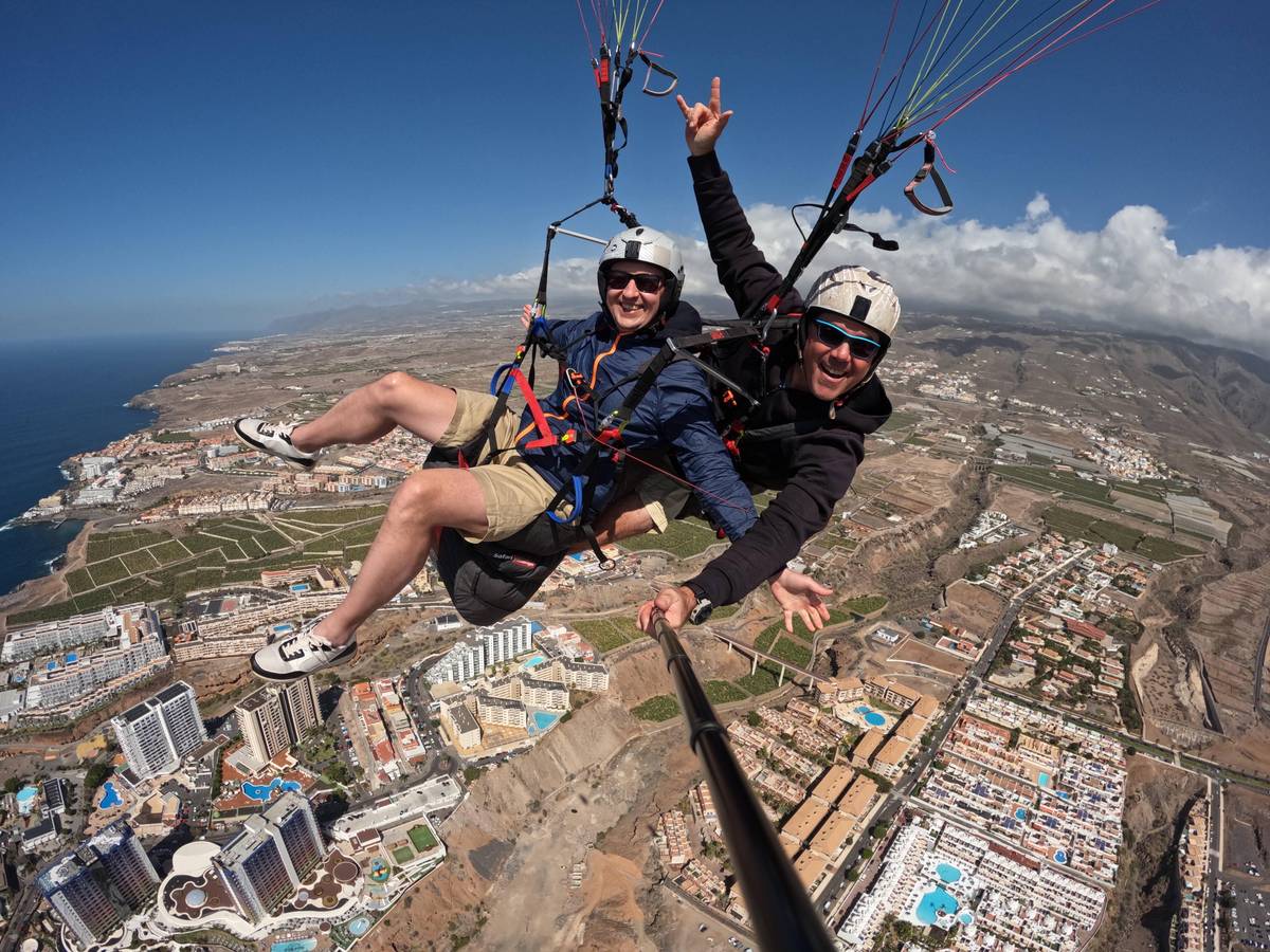 the highest
Decision helper
your preferences and the area that fits them best.
the Izaña launch site is among the most well known and sought after, because it sits at 2,300 metres above sea level. it is a unique flight that begins with direct views of Teide and lands both in Puerto de la Cruz in the north and in Güímar in the south.
In the north, the launch site La Corona in Los Realejos is well known. The municipality describes the paragliding launch strip as located right next to Mirador de La Corona, a viewpoint over the Orotava Valley.4 The view from the viewpoint alone is worth the trip, even for companions who do not want to fly. If you stand on the railing you can watch the paragliders launch, glide across the valley and slowly grow smaller until they disappear over the roofs by the sea.
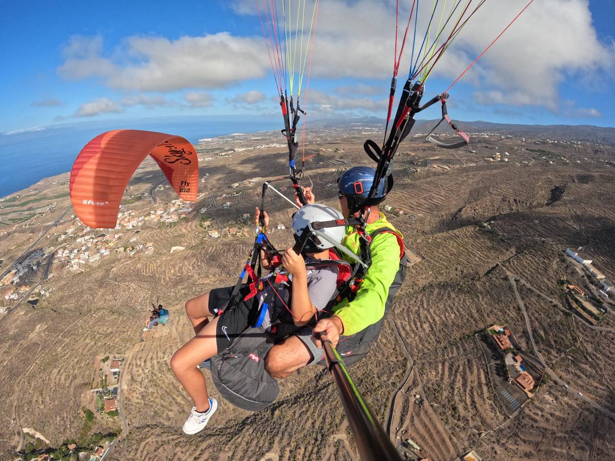
The north is greener and often cloudier than the south. Anyone flying here sees gardens, villages and the sea along the north coast below. Flights from the highlands land in Puerto de la Cruz, among other places.3 One offering names Puerto de la Cruz directly as the flight location, with a maximum of 4 guests per group.
If you are staying in the north, a flight there is the more convenient choice because the journey to the launch site is shorter. If you are staying in the south, expect a longer transfer for a flight in the north. You can read more on the pages for Puerto de la Cruz and Adeje.
Map
The flight areas in the southwest, north, and east of the island, plus Mount Teide as a landmark.
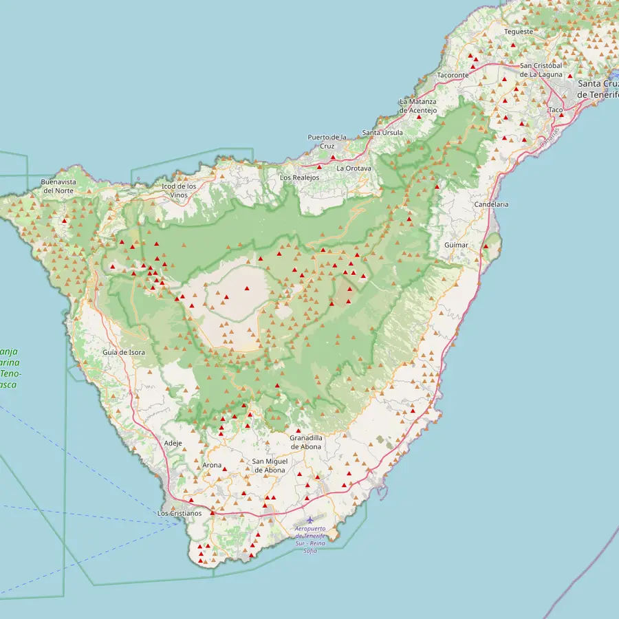 1Taucho2Ifonche3Costa Adeje4Teide5Izaña6La Corona7Puerto de la Cruz8Güímar
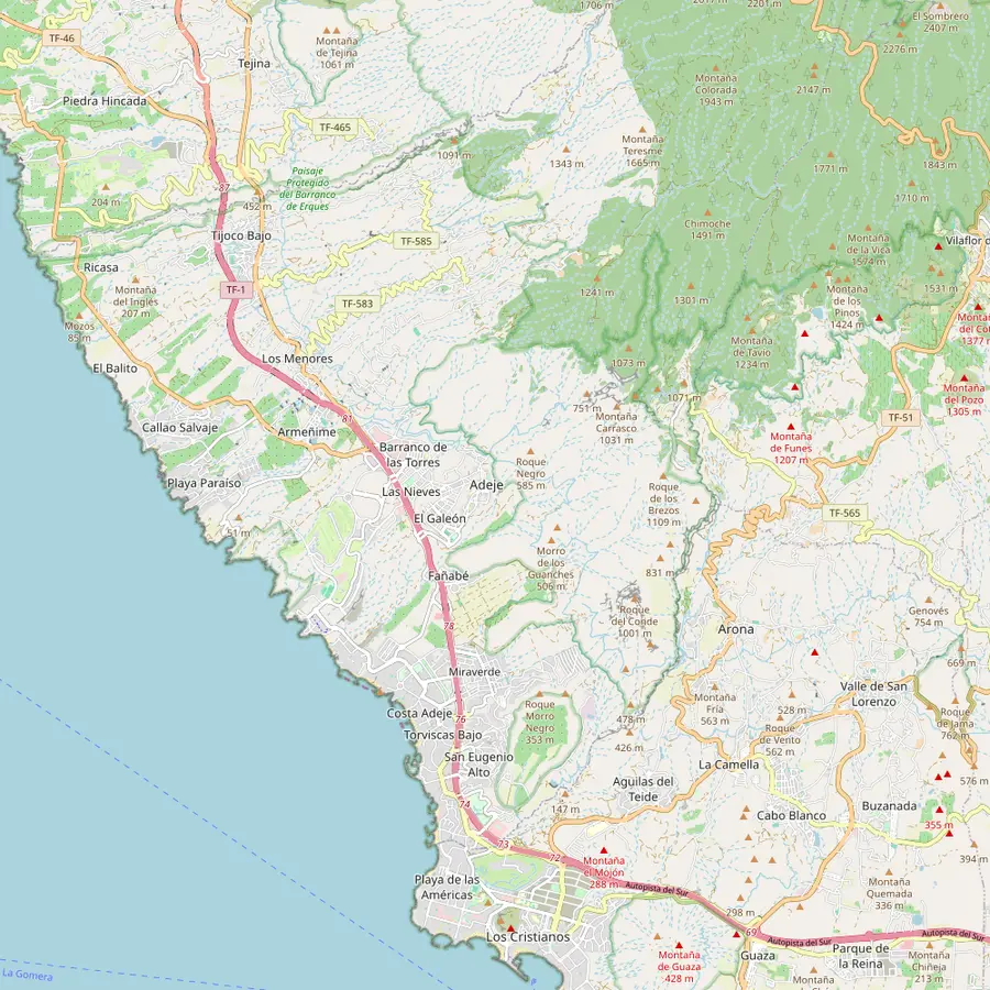 1Taucho2Ifonche3Costa Adeje
Taucho in Adeje is one of the launch areas in the southwest of the island.2
In Google Maps ↗Ifonche, located near Vilaflor, is also listed as a launch area by Turismo de Tenerife.2
In Google Maps ↗This is where the tandem flight on this page takes place, according to the offer.
In Google Maps ↗at 3,715 metres, Teide is the highest mountain in Spain.6
In Google Maps ↗The Izaña launch site sits at 2,300 meters, with flights heading north or south from there.3
In Google Maps ↗the paragliding runway in Los Realejos is right next to Mirador de La Corona.4
In Google Maps ↗Flights that depart from Izaña land in Puerto de la Cruz, among other places.3
In Google Maps ↗Güímar in the east is one of the major flight areas on the island.1
In Google Maps ↗Checklist
Video
Nothing loads until you tap Play.
The highest of the known launch sites lies in the highlands. According to Turismo de Tenerife, Izaña is one of the most famous and popular launch sites, at 2,300 meters above sea level, with a direct view of Teide.3 From there flights land either in Puerto de la Cruz in the north or in Güímar.3
The Teide Observatory also stands in Izaña, at 2,390 meters.5 The air up there is often clear while clouds hang on the slopes below. Launching above the clouds is one of the special experiences on the island, but it requires suitable conditions and a pilot who knows the area.
For tandem guests there are offerings that launch in the Teide area. The flight from Teide to Puerto de la Cruz costs from $173 and lasts 3 hours. You can find more about this flight on the page about paragliding from Teide.
In the east of the island lies Güímar, one of the major flying areas.1 The tourism board also lists the slope of Güímar and the volcano of Fasnia as areas for paragliders.2 Pilots with their own equipment come here mainly to explore the island.
For holidaymakers in the south, the east is less well known because most tandem flights launch from the west coast. However, anyone who goes paragliding with a guide on Tenerife often gets to know several sides of the island. Each morning the guide decides where the wind is right and drives the group there.
The landscape in the east is drier and more barren than in the north. Below you lie lava fields, terraces, and small villages, and beyond them the Atlantic. Anyone who plans many flying days will appreciate this side of the island as a change from the busy coasts in the south. Away from the hotel zones, the launch site is often quieter, and after landing a small bar in the village is more likely to await you than a seaside promenade.
If you fly yourself and are planning paragliding trips to Tenerife, you should know the rules. According to AESA, there is no aviation regulation in Spain that requires a paragliding license; however, depending on the region and sports association, a document may be required.7 So clarify before your trip which documents and insurance are expected on site.
Many pilots do not fly alone on a foreign island, but with a local flying school or a guide. There are good reasons for this: local experts know which wind is blowing at which slope, where it is permitted to land and where it is not, and which routes to the launch sites are open. Especially on Tenerife, where conditions between north and south can change quickly, this is invaluable.
Plan enough days. Not every day is a flying day, and on some days only one area is usable. If you stay for a week, you have a good chance of getting to know several launch sites. If you have only a weekend, keep your expectations low and enjoy every flight.
For a tandem flight, the launch site is less important than many think. What matters is that the pilot finds a safe launch on that day and that the landing is easily accessible. In the southwest, launch and landing belong to the same area around Adeje, and the routes back to the hotel are short.1
If you want to experience a specific launch site, for example the high launch in the Teide area, choose an offer that names it explicitly. A flight from Puerto de la Cruz or from the Teide National Park costs from $162. A flight that only names the south will stay there.
For most guests, the southwest is the easiest entry point: short distances, many providers, good reviews. This flight on this side has 4.94 points from 1,169 reviews and picks you up at your hotel in the south. For a second flight you can then try a different area. This way you get to know the island from above from different perspectives: once over the hotels and the deep blue sea in the south, once over the green slopes in the north.
Book flight
Reserve your spot and pay later, and cancel for free up to 24 hours before if you do not fly.
In three zones. In the north at Los Realejos, in the southwest at Adeje, and in the east at Güímar, plus in the highlands at Izaña.13
Taucho and Ifonche. Both are named by Turismo de Tenerife as launch areas in the southwest of the island.2
2,300 meters. Izaña is one of the most well-known launch sites; from there it goes to Puerto de la Cruz or Güímar.3
Only through the offer. For a tandem flight the pilot decides based on the wind; choose an offer that names your preferred area.
In Los Realejos. The launch strip is right next to the Mirador de La Corona above the Orotava Valley.4
Not under aviation law. According to AESA, aviation law does not require a license, but a region or association may require a document.7
On a foreign island, usually yes. A local guide knows the winds, landing sites, and routes and decides each morning where flying is possible.
Sources
Read more